 Landscape of Culture
Archaeological Fieldwork in the Okak Region
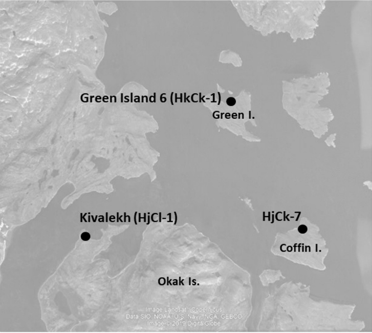
The principal goal of this project is to better document the traditional Inuit community of Kivalekh and its surroundings. Kivalekh was the most substantial Inuit winter settlement in northern Labrador and, by the eighteenth century, the hub of a regional network that included seasonal harvesting camps and sister winter villages, such as Uivakh and Nuasornak. The establishment of a Moravian mission at Okak in 1776 subsequently attracted inhabitants from a number of these settlements, leading to the emergence of a thriving Inuit-European community until its tragic abandonment following the 1918-19 influenza epidemic. The Okak region continues to be used by residents of Nain for seasonal settlement, travel and harvesting, and the Okak Mission site remains a highly significant historical place for Labrador Inuit. Although Kivalekh was the subject of repeated archaeological testing from 1974 to 1984, and has been periodically revisited since, this earlier home of the Okak community has not been well-described in the literature, an accurate map of the features and archaeological activities did not exist, and images of the Inuit finds were not published prior to the 2018 field season of this project.
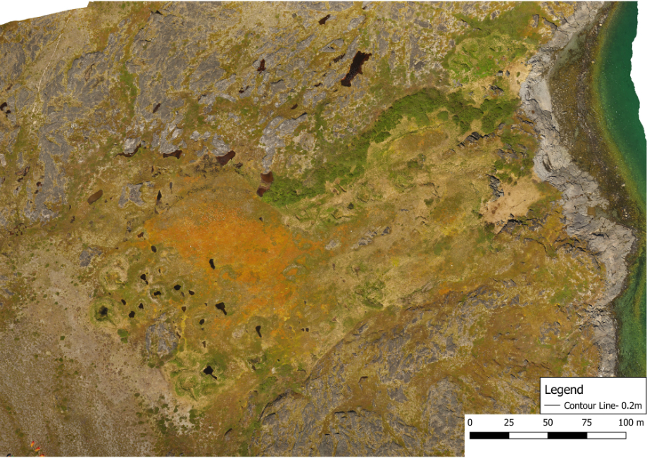
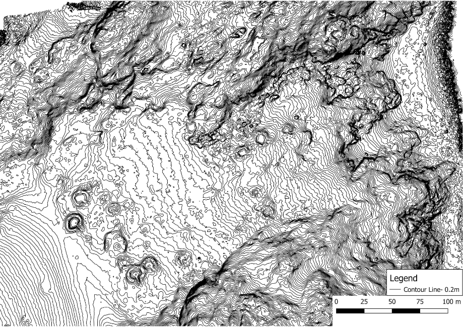
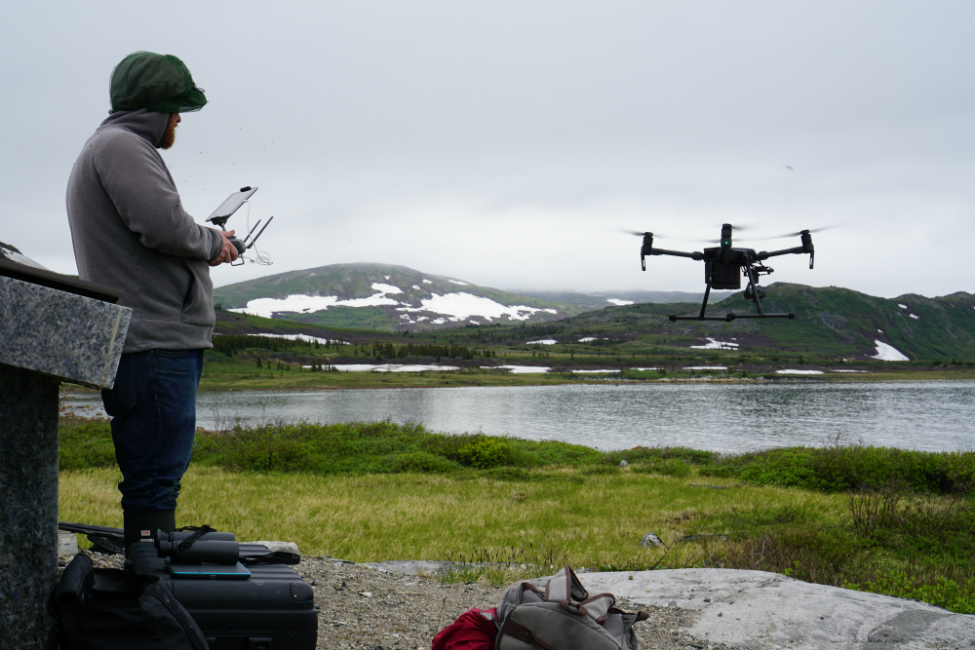
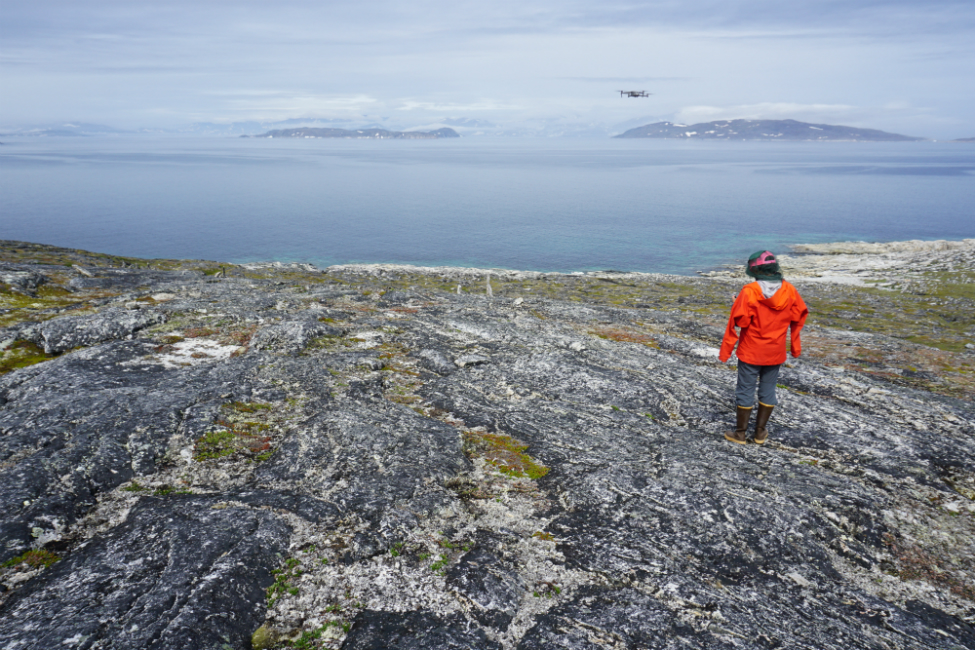
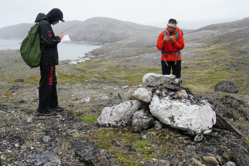
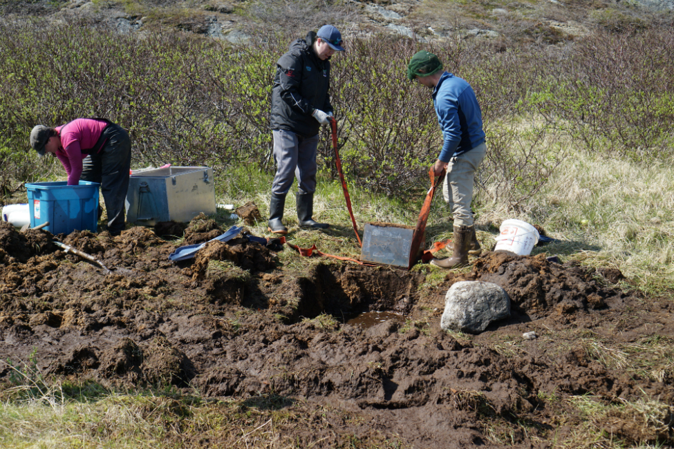
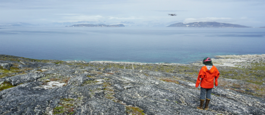
In an effort to better document this significant Inuit site, fieldwork in July and August (2018) involved intensive ground survey and high tech digital (Real-time kinematic or RTK) mapping of archaeological features in and around Kivalekh, including aerial mapping to generate orthophotos and 3D models, and archaeological testing of midden (garbage debris) areas next to two winter houses. From the ground survey, a large number of caches, cairns, and tent rings, and a substantial concentration of burials cairns, were identified on the point north of Kivalekh, and the houses at Kivalekh itself were mapped in detail. Testing of two of these houses produced small samples of artifacts and faunal remains that reveal the importance of bowhead whaling to the Inuit inhabitants of the site, as well as the presence of earlier, pre-Inuit deposits in some parts of the locale. Drone photography produced thousands of aerial images of the site, which not only constitutes a substantial site document in its own right, but has also been stitched into large scale orthophoto mosaics and 3D models of the entire region. Additionally, finer grained 3D models were generated for selected features from more intensive aerial mapping.
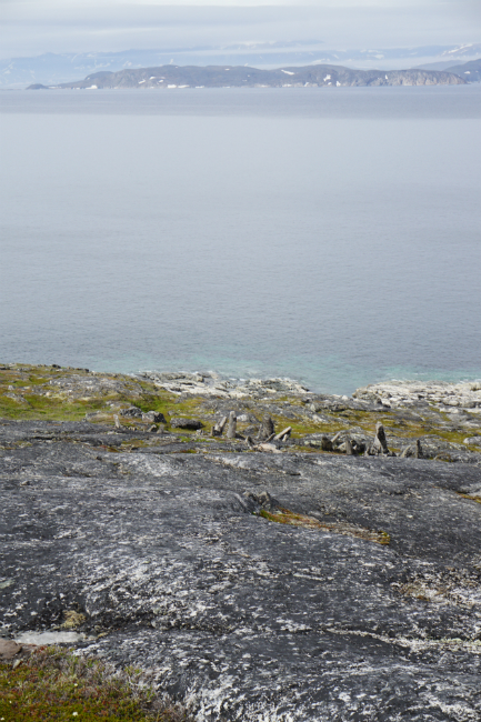
Following the success of this first field season and building on the 2018 results, the 2019 summer fieldwork focused on addressing two important gaps in our knowledge of this key region: the long-term history of landscape change (paleoenvironment) at Kivalekh and its impacts on human settlement, and the nature of unusual concentrations, on nearby islands, of a distinctive variety of inuksuk that earlier researchers termed “pinnacles”. Investigating the paleoenvironmental record stored in plant and insect remains within peat bogs will help refine our understanding of the landscape changes that occupants of northern Labrador have experienced over the last two millennia, and to which they in turn have contributed through their alteration of the local landscape. From studying these paleoenvironmental data, it is possible to develop accurate, high-resolution chronologies of individual sites and it is hoped that the data collected in 2019 will help us to greatly refine our understanding of the wider regional chronology.
The second goal of documenting and contextualizing the “pinnacles” in this area relied on the use of remotely piloted air vehicles (RPAVs), like those employed at Kivalekh in 2018 and at Johannes Point in Hebron Fiord in 2016. The images and data produced from documenting these intriguing features from the air will allow us to generate detailed maps, orthophoto mosaics, and 3D imagery. This represents a key first step in determining the function and cultural affiliation of this distinctive inuksuk variant, which seem to relate to very early Inuit or even pre-Inuit settlement (Whitridge 2016), and which speak to the navigational and memorial systems employed and encountered by the earliest occupants of the region. Data analysis from this most recent field season is currently underway at Memorial University’s Department of Archaeology.
Taken together, this work has allowed us to produce a permanent document and inventory of archaeological features at Kivalekh, to generate an environmental baseline that will be invaluable for monitoring the impending threats of climate change and sea level rise, to better develop our understandings of the “pinnacle”, support graduate student research, and enable ongoing research both in the lab and in consultation with community members in northern Labrador. Field assistants from Nain were trained in archaeological survey and excavation in both seasons, and the project relied completely on community-based logistical expertise in getting our teams into the field and providing on-site bear monitoring.
Check out the 2018 Kivalehk field report in the Provincial Archaeology Office 2018 Annual Review for more details on this research.